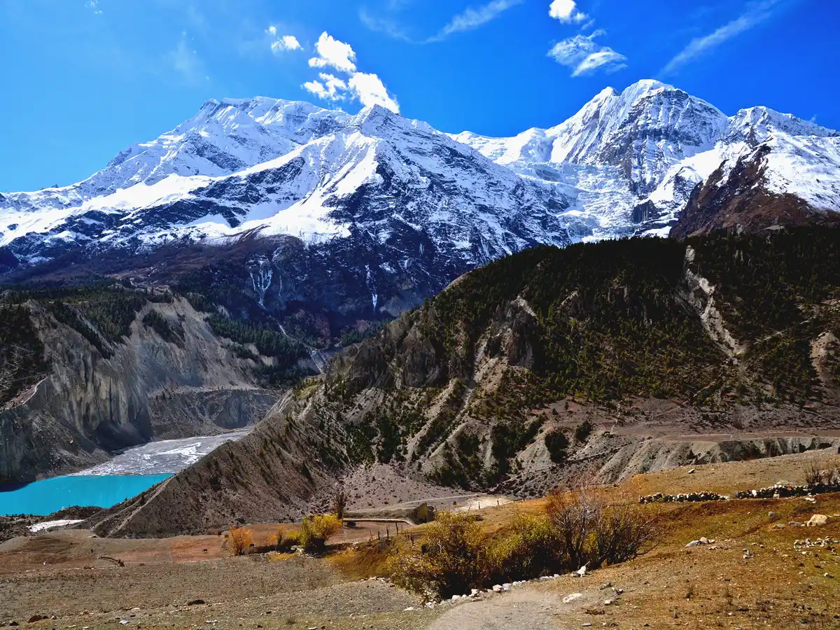
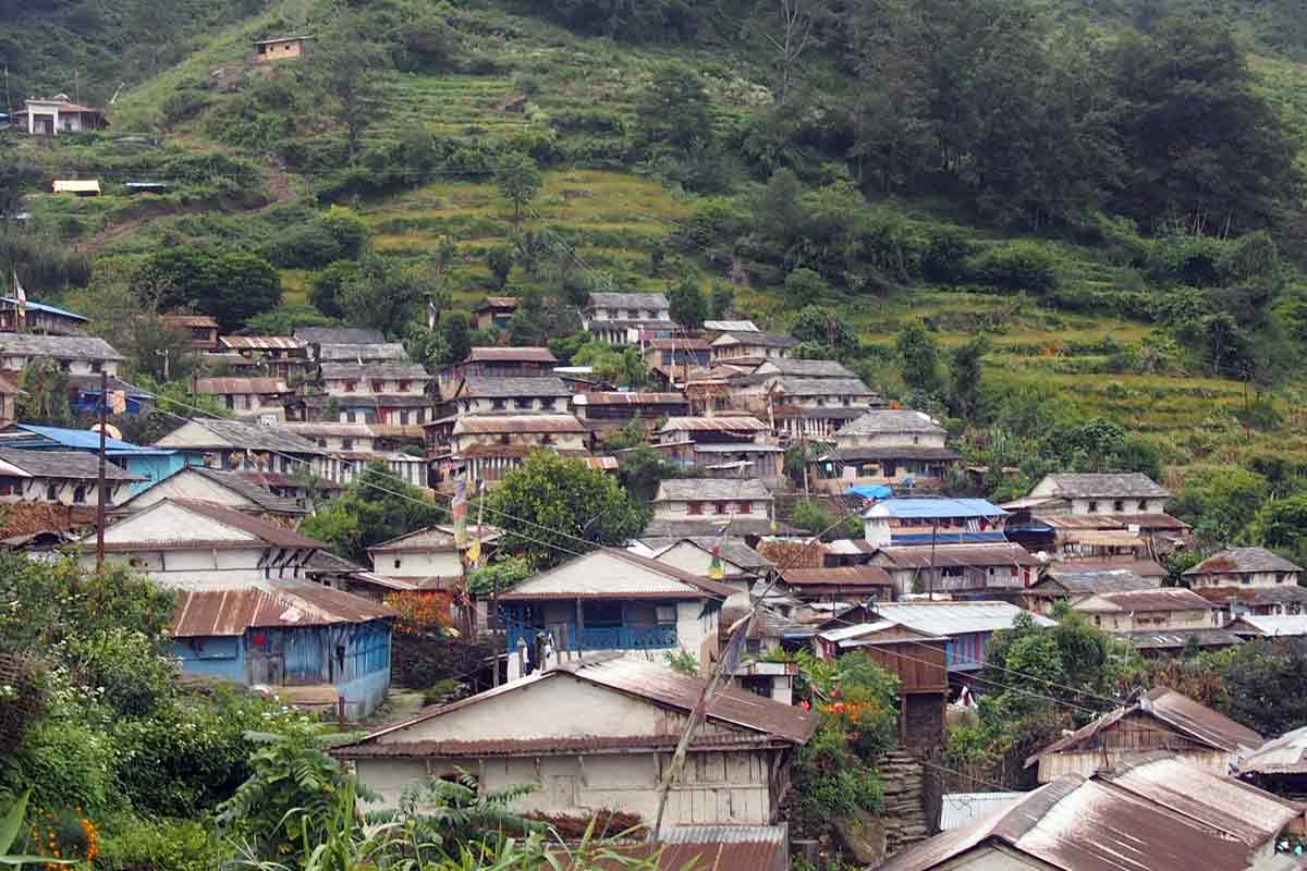
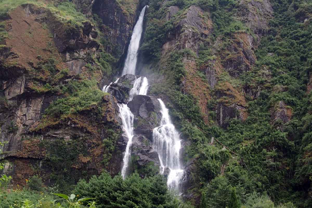
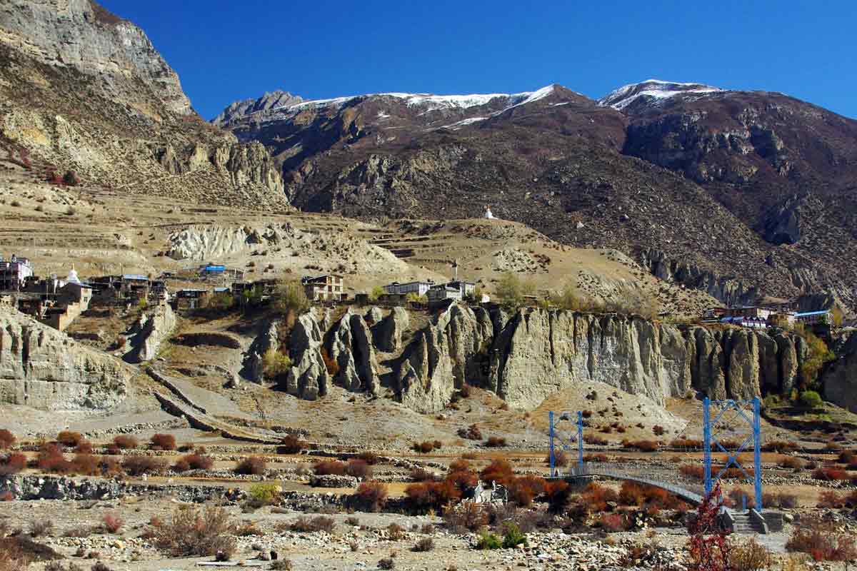
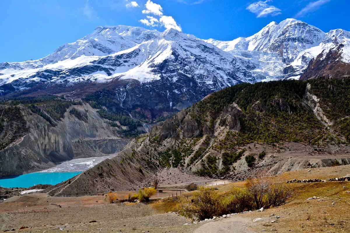
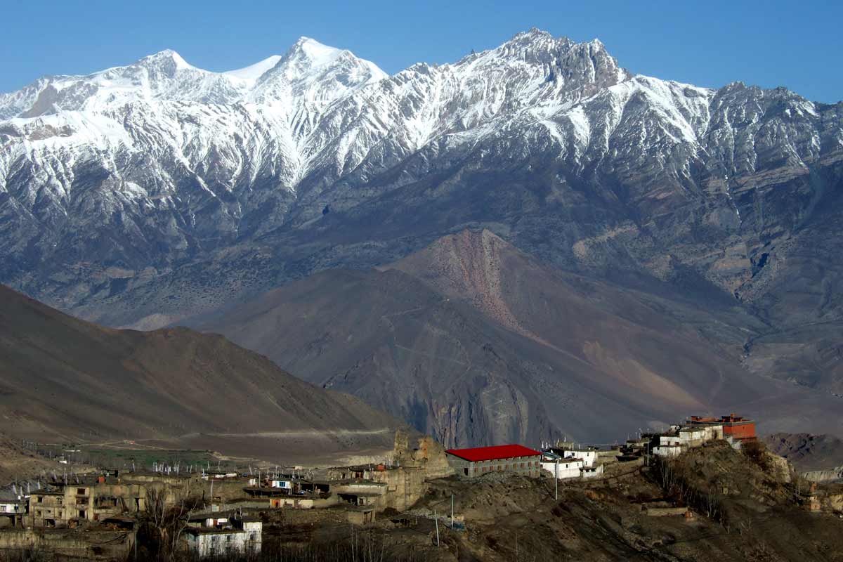
After breakfast in Tal, the journey begins by leaving the waterfall-fringed plateau and crossing a bridge over the Marsyangdi River, following a dramatic cliff-side and zigzag trail with occasional views of the Manaslu Himal ranges on clear days, passing Karte village, rocky terrain, a suspension bridge, and a narrow gorge before reaching Dharapani (around 1,860–1,965 m), the important junction where the Manaslu and Annapurna Circuit Trek meet and permits are checked at the ACAP checkpoint, with Lamjung Himal (6,993 m) visible in the distance; from here, the valley gradually narrows and a short, mostly flat walk along the riverbed leads to Bagarchhap (2,160 m), known for its Tibetan-style houses, long mani walls, the Diki Gompa, and marking the transition from the humid lower valleys to the drier Upper Marsyangdi, where the first clear views of Annapurna II often appear; the trail then gently climbs through rhododendron, fir, and changing conifer forests—including blue pine, spruce, oak, and chir pine with its long silver needles—to the quiet village of Danagyu (2,300 m), a pleasant lunch stop surrounded by apple orchards, before tackling the day’s most demanding section with a choice between a longer gradual road or a steep forest trail of switchbacks through ancient pines, ultimately rewarding your effort as the path levels out at Timang (2,750 m), a charming ridge-top village offering superb panoramic views of Manaslu, Annapurna II, Lamjung Himal, and the converging massifs of the Marsyangdi valley, best enjoyed when arriving by mid-afternoon as sunset often lights up Manaslu’s peaks.
Walking: 5-6 Hours |
Distance: 15km |
Altitude Gain: 1,070 m |
Altitude Loss: 110 m |
Accommodation: Lodge l
Meal: Breakfast, Lunch, Dinner